
Service
EarlyWarningSystems
An EWS is more than an app: it is sensing in orbit and on the ground, a decision made at a central dashboard, a warning that travels over whatever reaches people fastest, and a plan for the community after the event. We build the whole chain, end-to-end, and we help you keep it running.
One warning is a whole chain of work. We build every link.
Sense
In orbit and on the ground
- Infrared geostationary satellites
- On-field sensor networks
- GLOF sensors on glacial lakes
- River, rain, and weather gauges
Decide
One picture, one call
- Central monitoring dashboards
- Event classification and severity
- Thresholds tuned per hazard
- Every event type on one feed
Warn
Whatever reaches people fastest
- Mobile and web alerts
- SMS and telephone networks
- Radio broadcast
- APIs for civil authorities
Recover
The event has an afterwards
- Community relocation strategy
- Economic impact assessment
- Post-event damage mapping
up to 21 event types on one feed
Practically applied in Switzerland and Pakistan.
All projects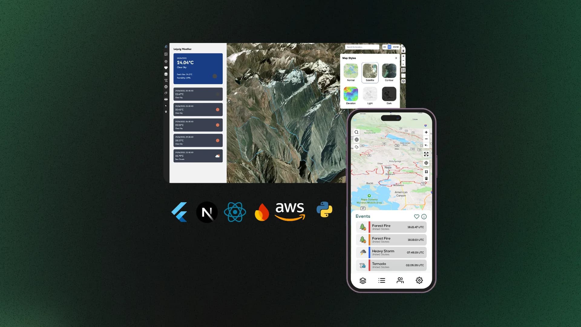
All servicesNext Service