
What We DoOur
Our
services
Across the full geospatial value chain: from raw earth observation data to deployed enterprise systems, and the capability to run them.
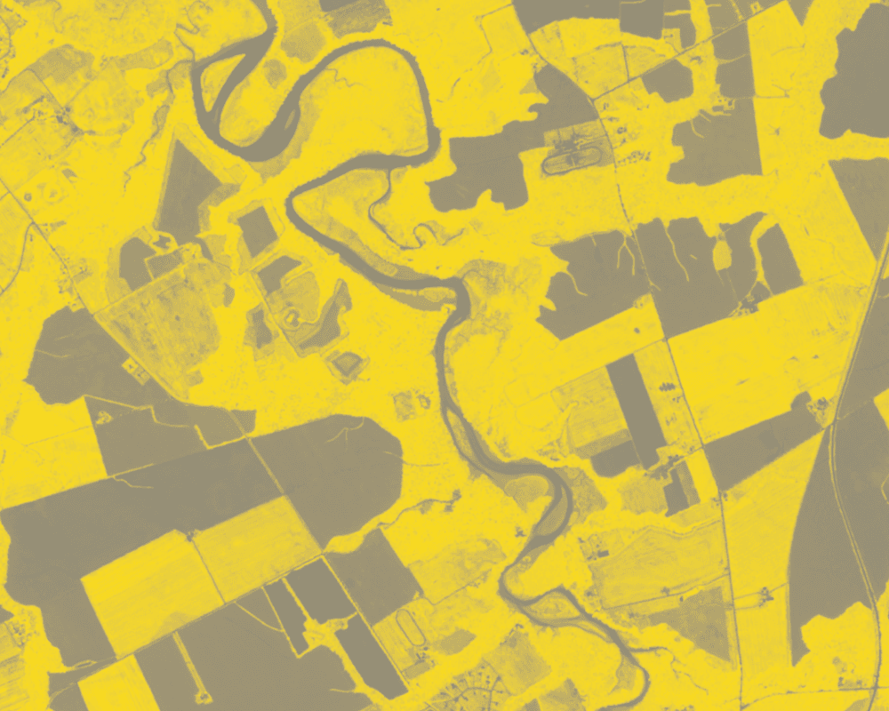
- Agritech SolutionsCrop intelligence and land suitability through to restoration planning, carbon groundwork, and blue economy assessments.
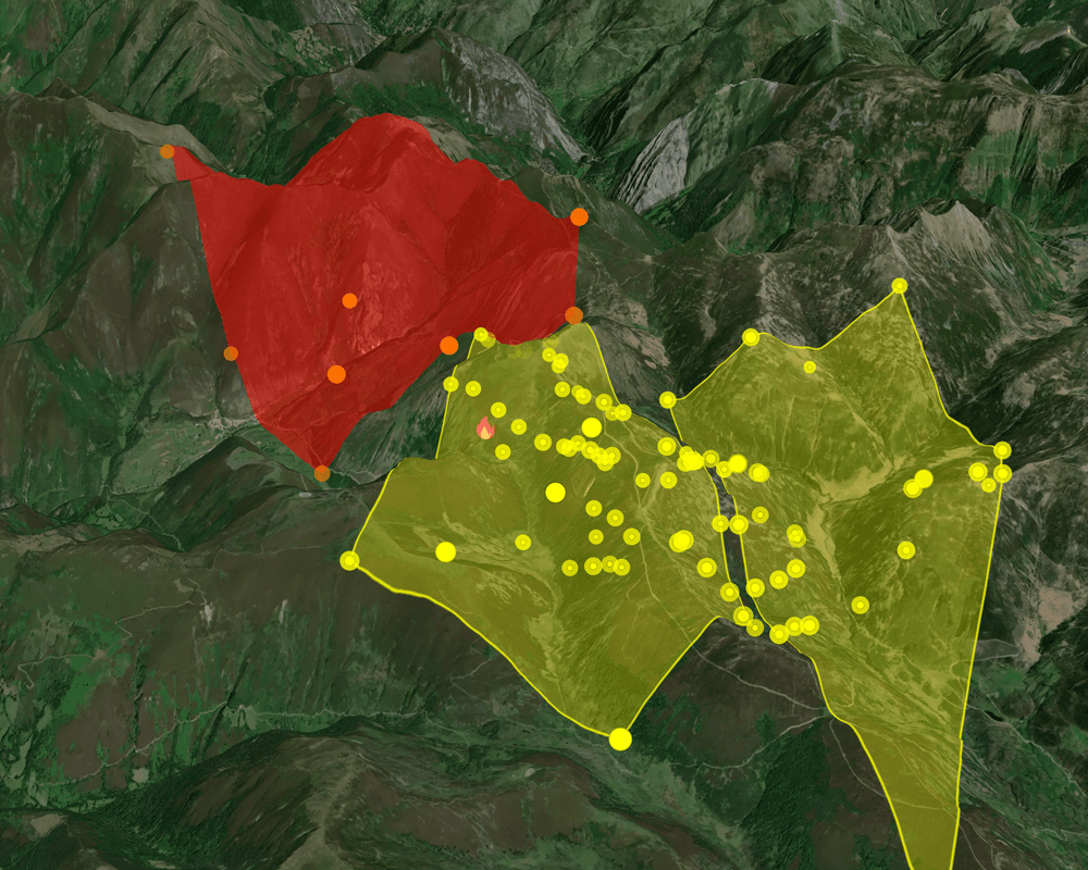
- Early Warning SystemsThe full early warning chain: satellite and field sensing, central monitoring, and warnings that travel over apps, SMS, radio, and telephone.
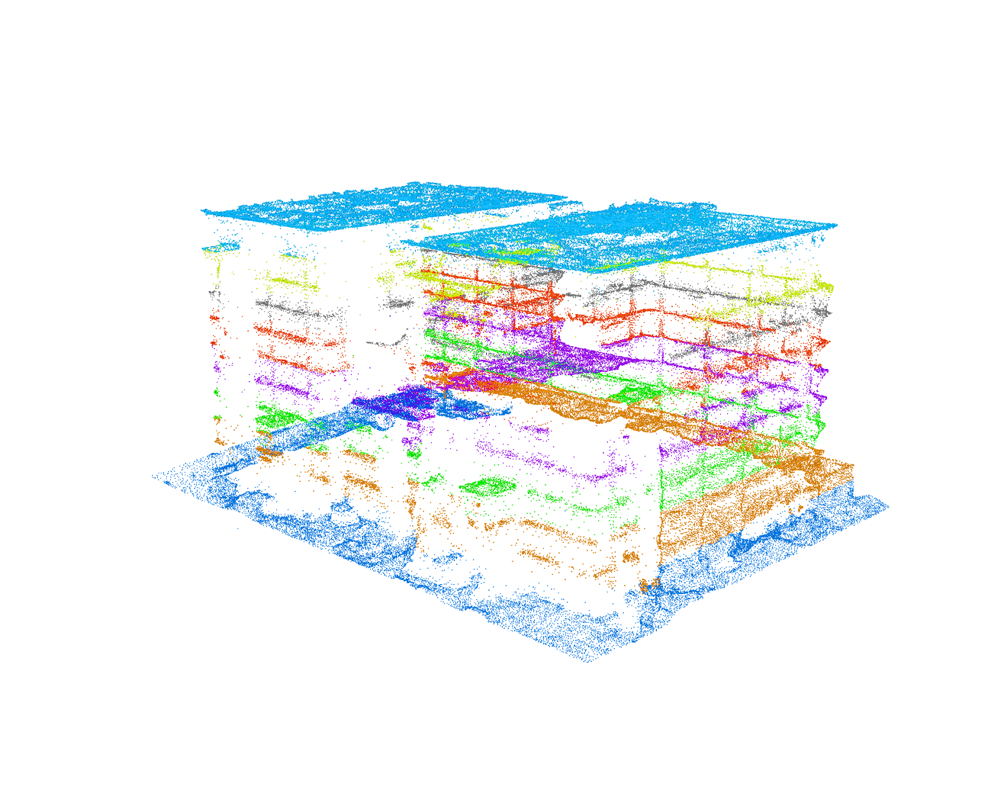
- Infrastructure MonitoringDigital twins from city scale down to building interiors, site activity monitoring, materials management, and the dashboards that watch it all.
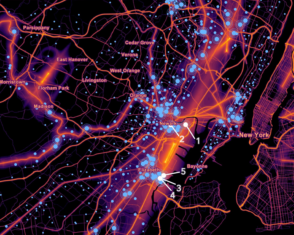
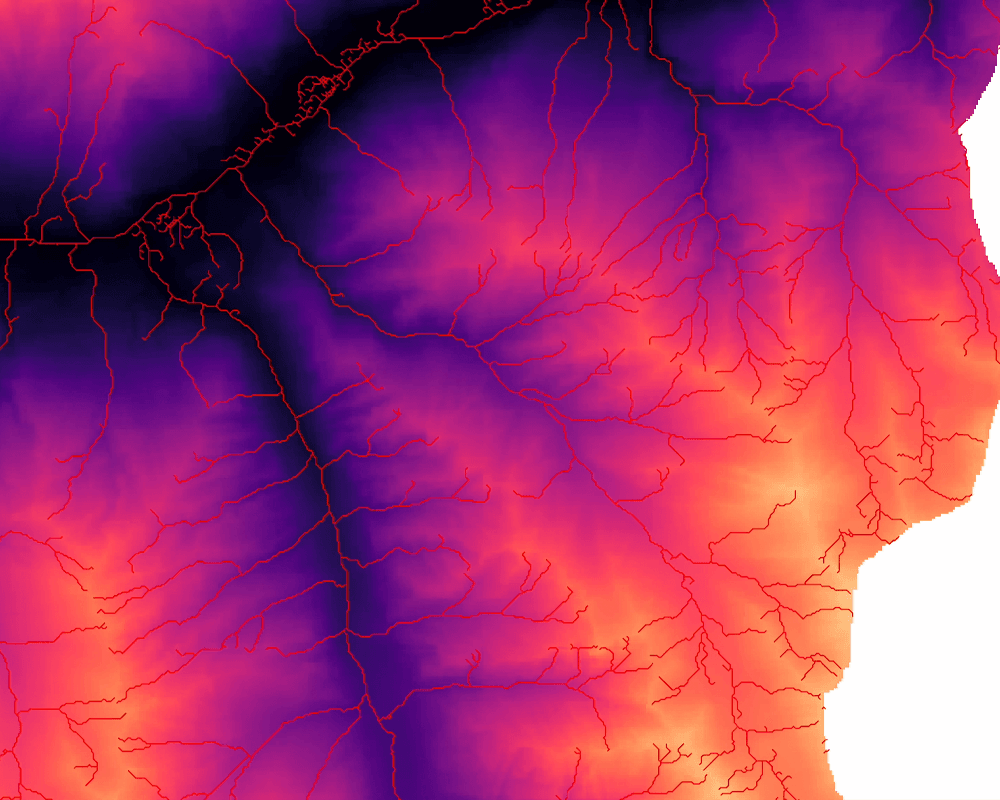
- Data Analytics & AI AutomationGeoAI: object and pattern detection from satellite imagery, spatial trends, and automated analysis pipelines for any domain that touches a map.
- GIS ConsultingEnd-to-end GIS operations: data collection, processing in cloud or on premises, analytics, dashboards, secure infrastructure, and staff training.
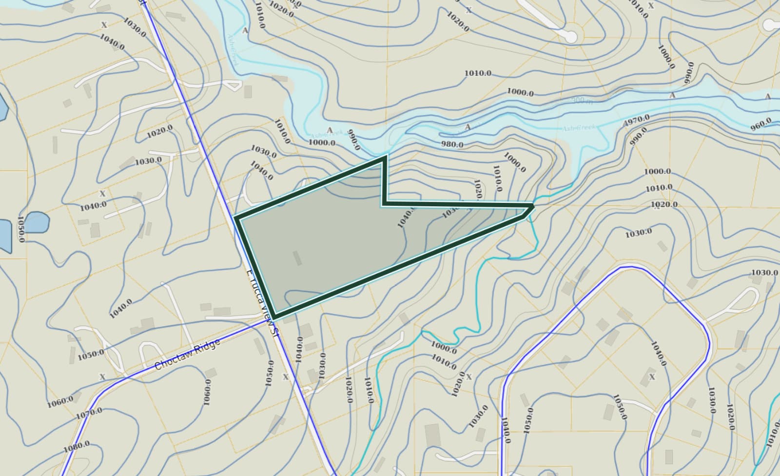
- Town Planning & SurveyingField survey in every discipline: geodetic, drone, cadastral, hydrographic, seismic, soil sampling, plus the processing that turns it into usable records.
ServiceAgritech Solutions